Mid South Drone Services
Drone Data You Can Use
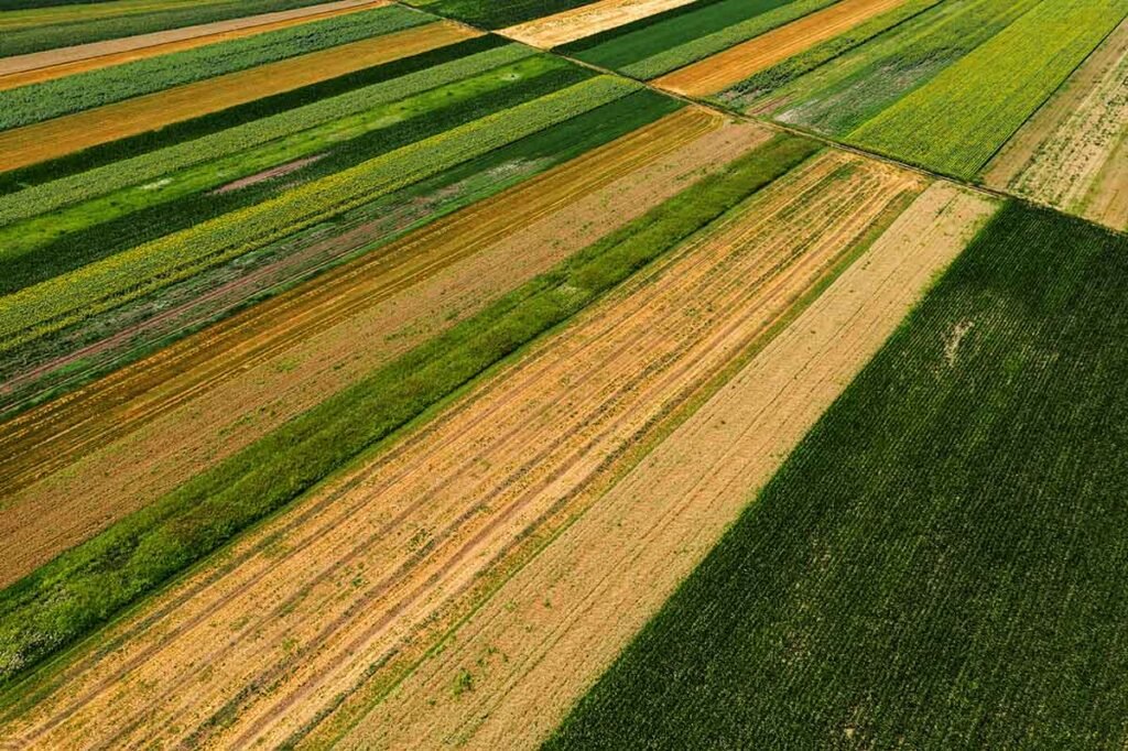
We provide practical aerial imagery that you can count on for all kinds of surveying and construction projects.
All operations are fully covered with up to 5 Million dollars of insurance.
We provide only the highest quality deliverables to our clients.
Our program is driven by our clients results and satisfaction.
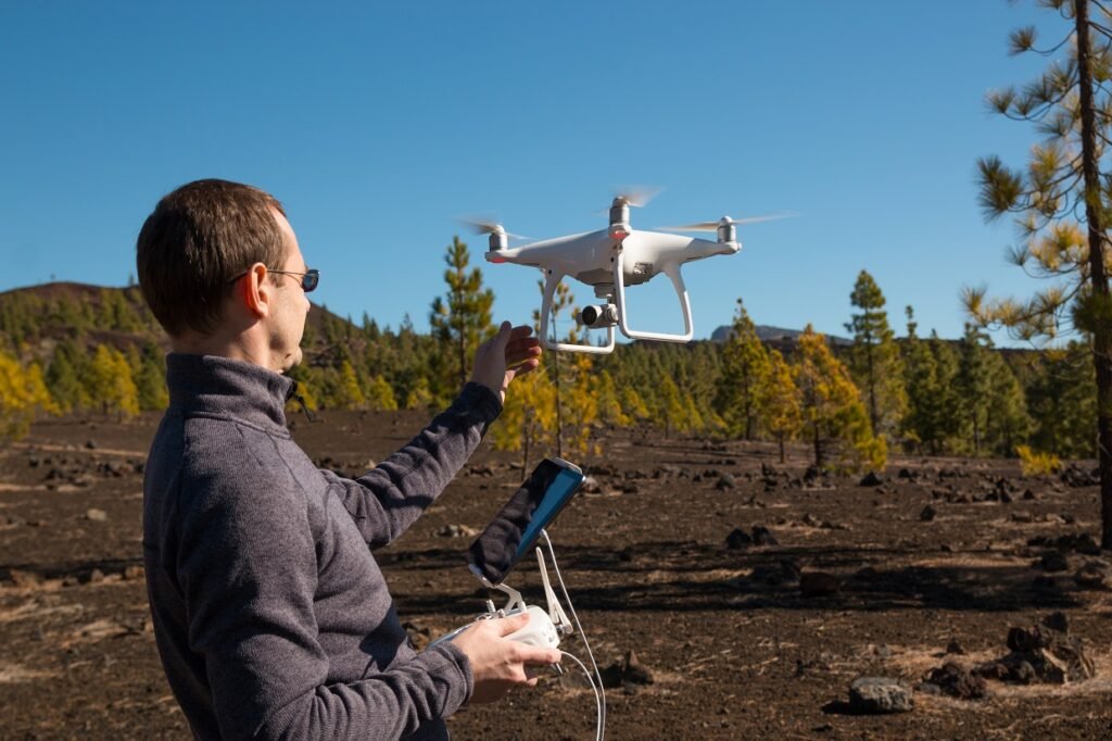
Professional Aerial Data & Imagery Solutions
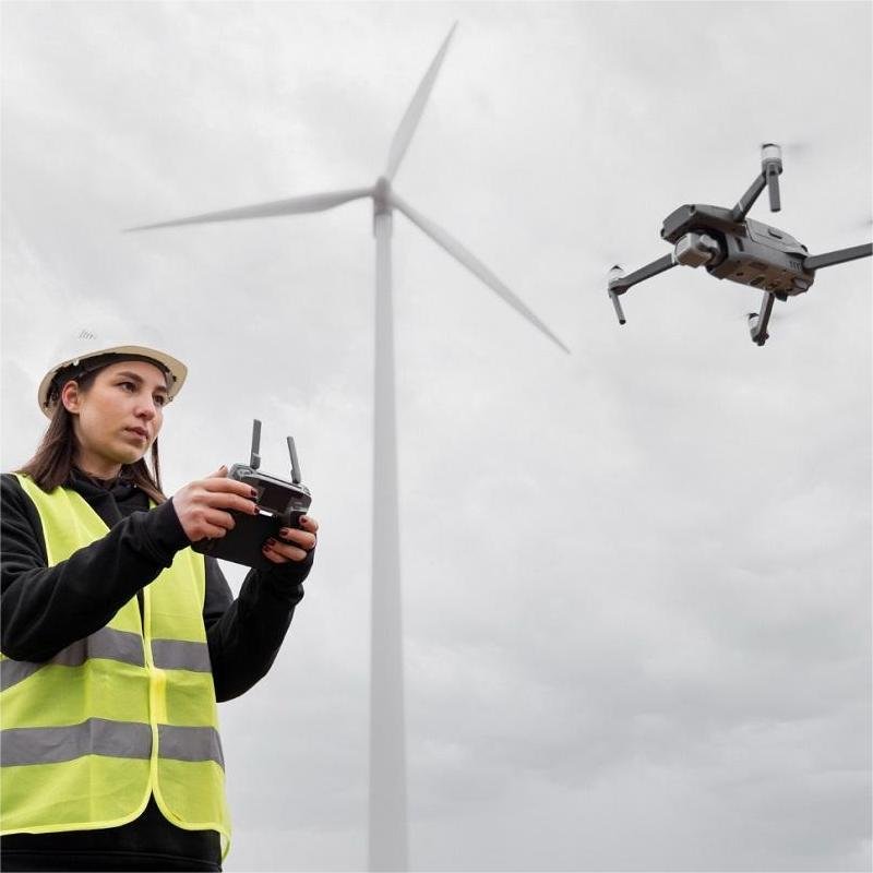
At Midsouth Drone Services, we provide high-quality aerial data with precision and efficiency. With over 35 years of experience in photography and flying, our passion drives us to deliver the best imagery solutions. Whether you need professional aerial mapping or photography, we’re here to help.
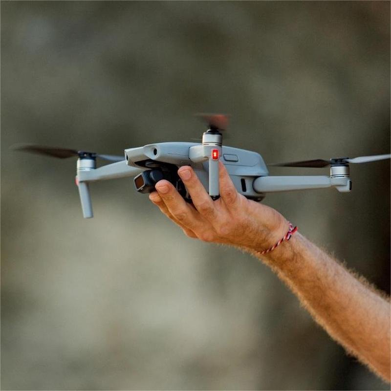
FAA PART 107 LICENSED
We offer a variety of aerial mapping and photography services in the Midsouth, including LiDAR and Point Cloud data collection. If you have a special need and you think aerial imagery may save you money or improve your work flow, then please call us today so we can help!
1. Lidar Mapping
We specialize in LiDAR mapping, delivering precise data, 3D models, and orthomosaic maps for seamless CAD integration.
2. Inventory & Volume Measurements
03. Construction Progress
Drone imagery enhances construction with mapping, inventory tracking, and remote progress updates, saving time and costs.
Elevate Your Perspective with Precision
Need drone equipment? Look no further than Drone Mapping Tools, your one-stop shop for drones, Lidar, software, & more.
The Sky’s the Limit
F.A.Q.
Frequently Asked
Got questions? Explore our FAQs for quick answers about our drone services, technology, and deliverables!
We focus on capturing aerial data for our customers, who are often in the construction and surveying industry, so we don’t do any event-related jobs.
We do not have a certified surveyor on staff, but we do have partnerships with land surveyors that enable us to present you with signed and stamped data.
Yes! Head over to DroneMappingTools.com for all your equipment needs!
No, we don’t do any repair work.
Testimonials
What Our Clients Say
Trusted, professional, and exceptional drone services!
Tim has been an integral part in our business from the beginning. His extensive knowledge in all things drone mapping and LiDAR has been invaluable. From support calls to final deliverables, Midsouth Drone Services is top notch!
Project Gallery